
Effcient workstie planning with 3D visualisation
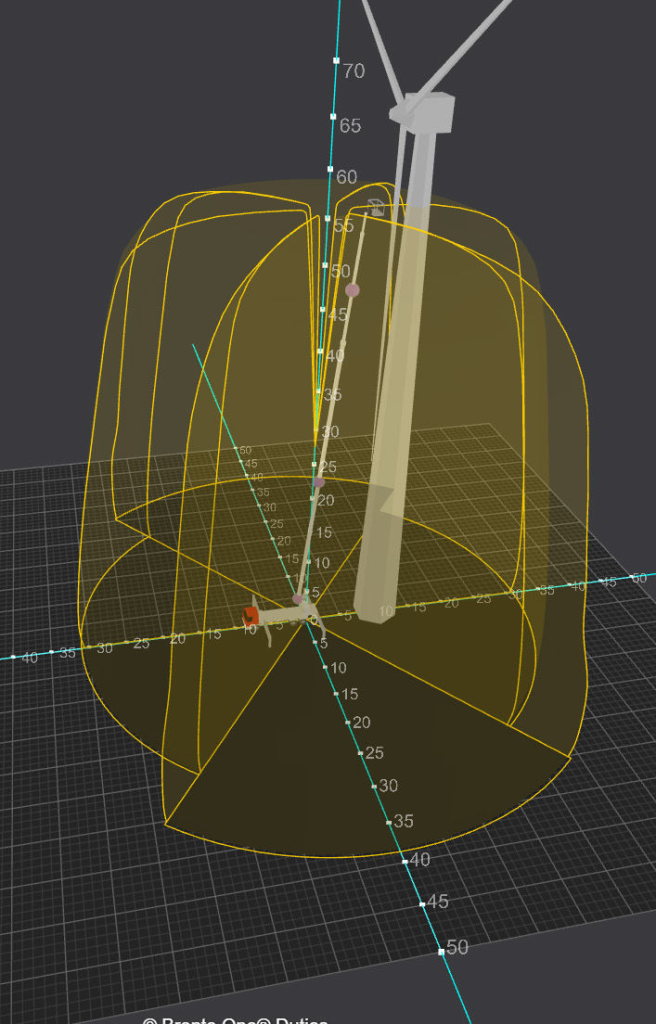
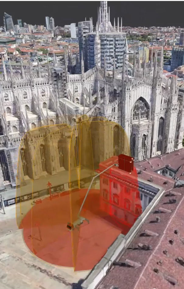
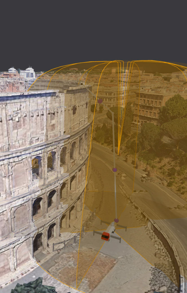
Bronto One Duties is a digital 3D planning tool that allows you to visualise your platforms reach in a 3D virtual environment, making worksite planning easier than ever. With enhanced AR features it enables you to use Google 3D maps to build real sceneries e ortlessly.
You can drop your Bronto in real-life circumstances to get precise visualisations of the outreach with any outrigger position, cage load or boom position to get a clear picture of your aerial’s capabilities at site. Duties also allows easy comparison of di erent Bronto models in the same environment to ensure you are sending the right equipment for the job.
Bronto One Duties lets you build your own structures, like buildings, wind turbines and telecom masts from scratch or modify the existing 3D sceneries. In-built intelligence also warns if the slopes in the set up area are too steep to safely level the unit, which reduces the unpleasant and costly surprises at site. Naturally, all sceneries can be saved within your Bronto One worksite library to be re-used to save time and money.
Bronto One Duties is part of Bronto One Pro package, along with other fleet and worksite management tools.
Key features
- 3D visualisation of your Bronto’s reach
- Real 3D environments with Google Maps
- Create and add custom structures
- Save and re-use worksites
- Automatic slope detection